Canal Walk Town Centre – 1972.
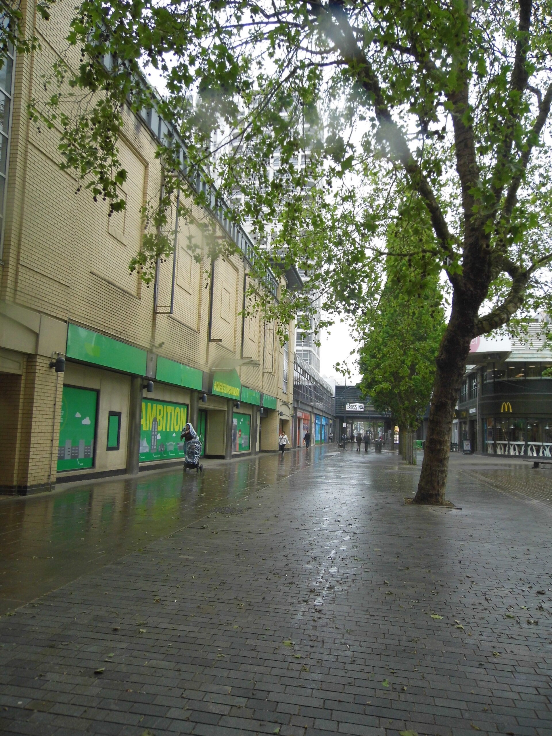
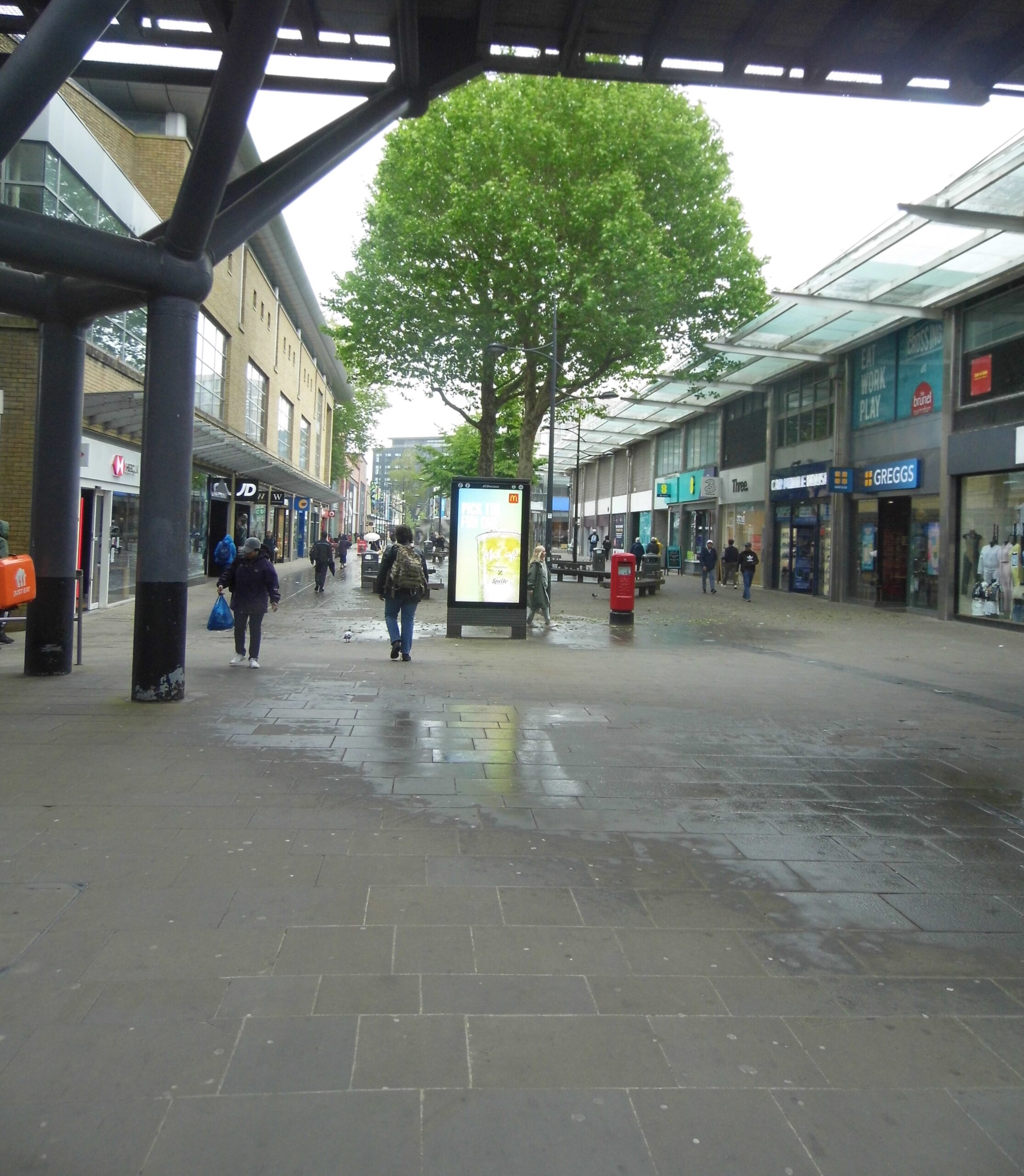
Bringing us into modern Swindon and doing exactly as that famous Ronseal advert proclaims, Canal Walk in the heart of Swindon’s town centre, follows some of the route of where the Wilts & Berks canal once ran. It’s now a pedestrianised shopping area whose paving, if you stop and look, tells some of the history of this area’s backstory.
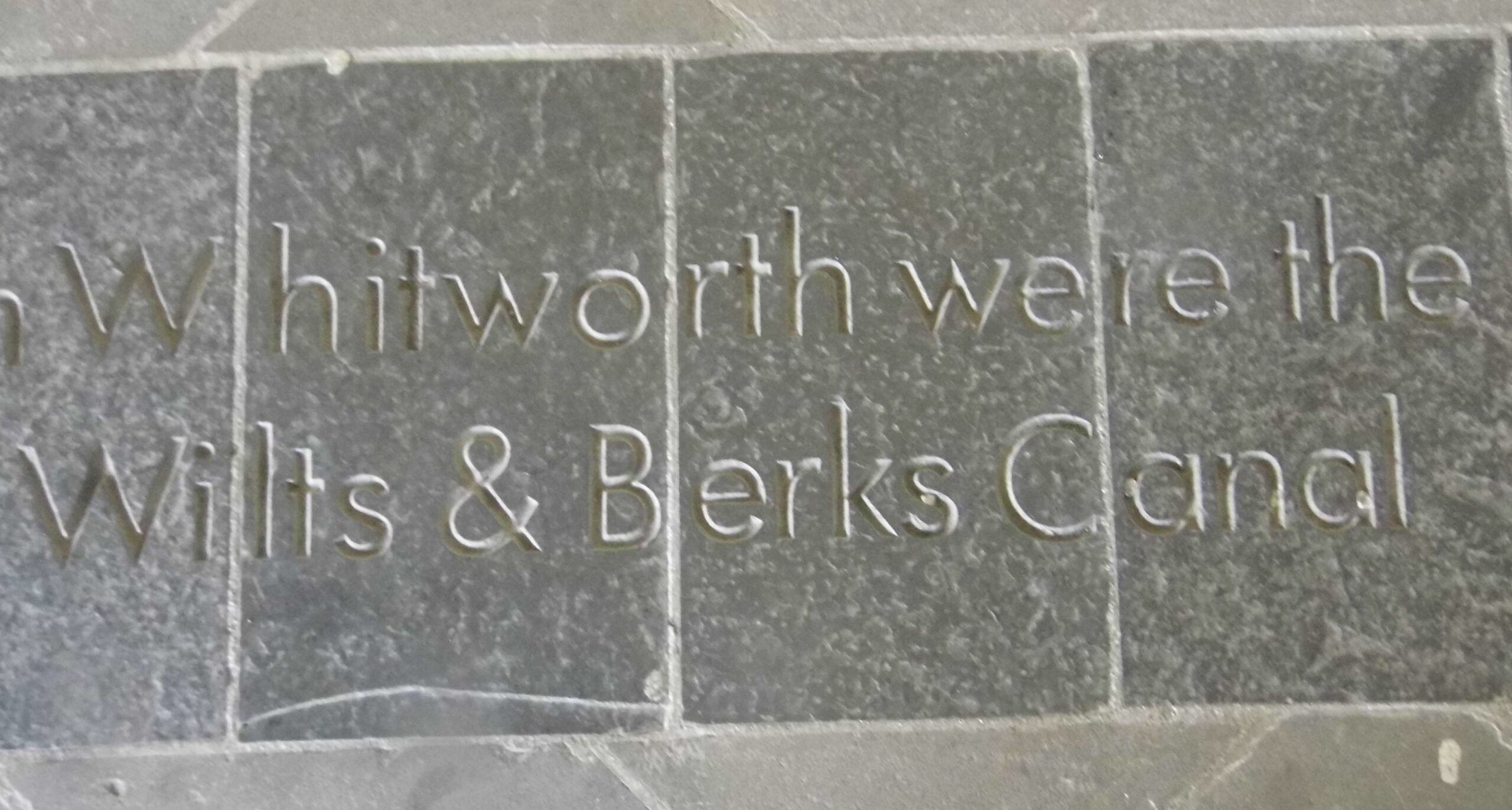
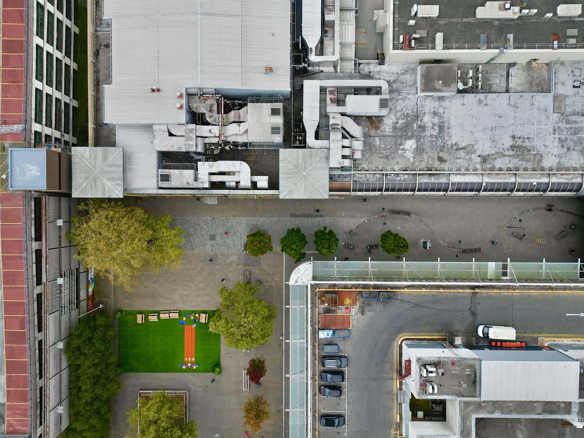
The wavy line is the paving that’s inscribed with history of the Wilts & Berks canal.
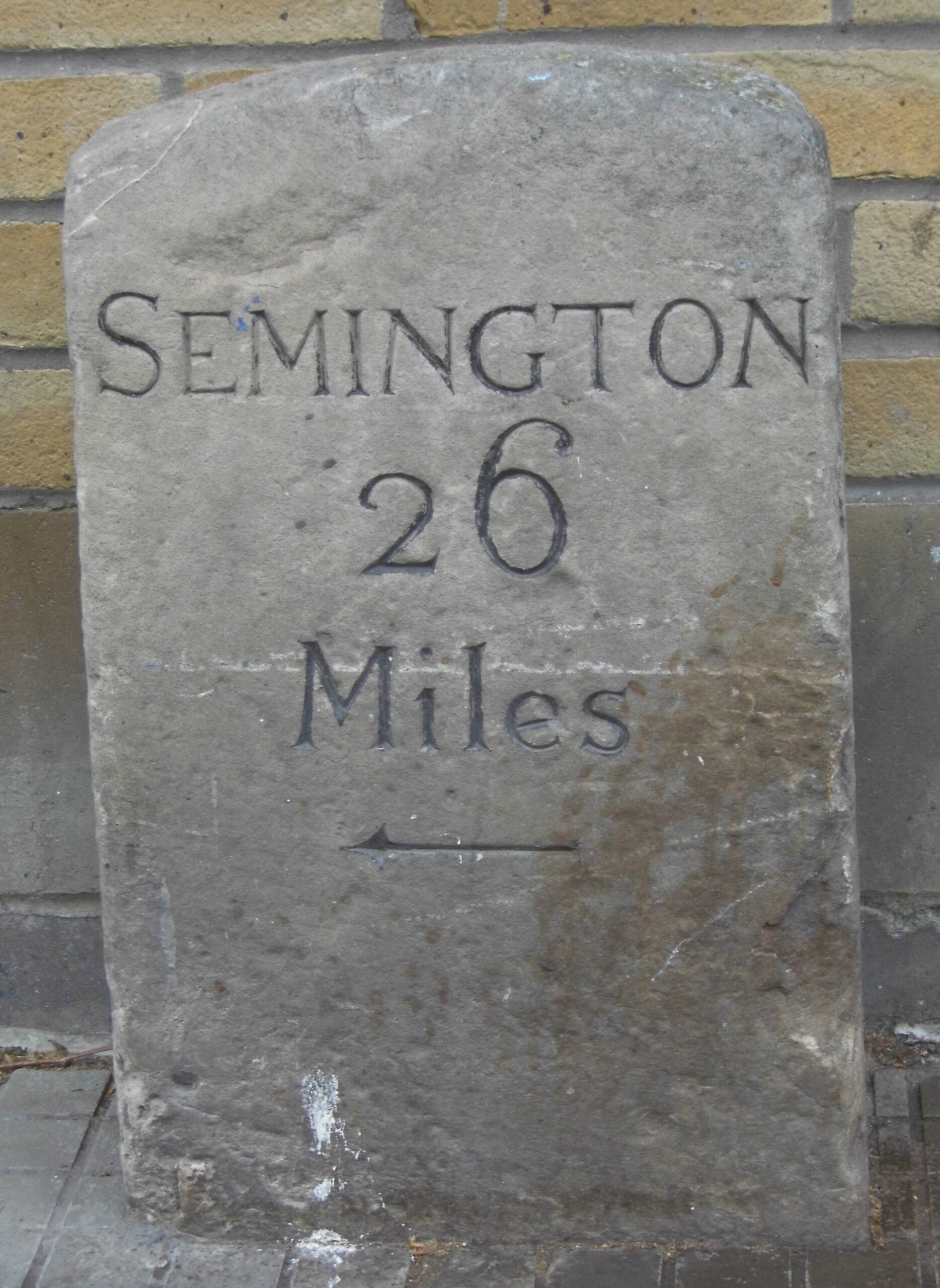
Further, outside shops 2-6, just about at the crossroads where Canal Walk meets Bridge Street/Regent Street and The Parade you’ll find a 19th century milestone declaring ‘Semington 26 miles’. Given Grade II listed status in 1986, the milestone found itself removed and renovated during the Brunel Centre expansion of the 1970s. It stands now as one of the few remaining physical reminders of the canal that ran here before a 1914 act of parliament closed it.
Just around the corner from the milestone, on Bridge Street, is Carleton Atwood’s Golden Lion statue. This being a replacement for an older version, it stands near to the site of the former Golden Lion Bridge – an iron lift bridge built in the GWR Works in 1870.
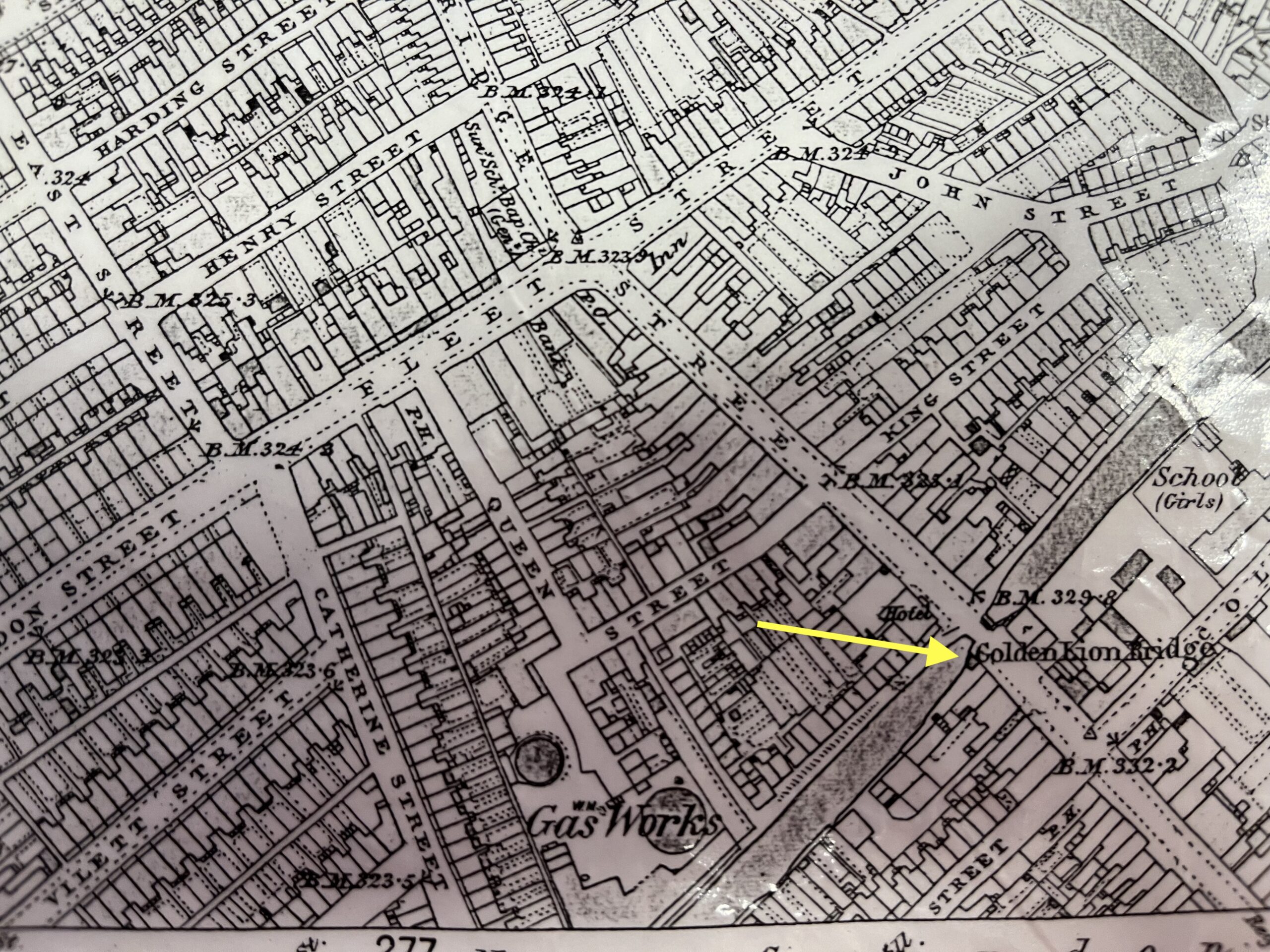
The route of the canal – and Canal Walk
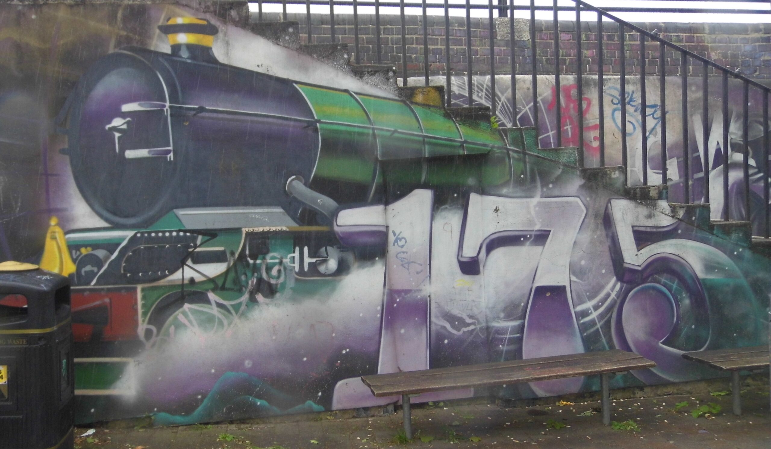
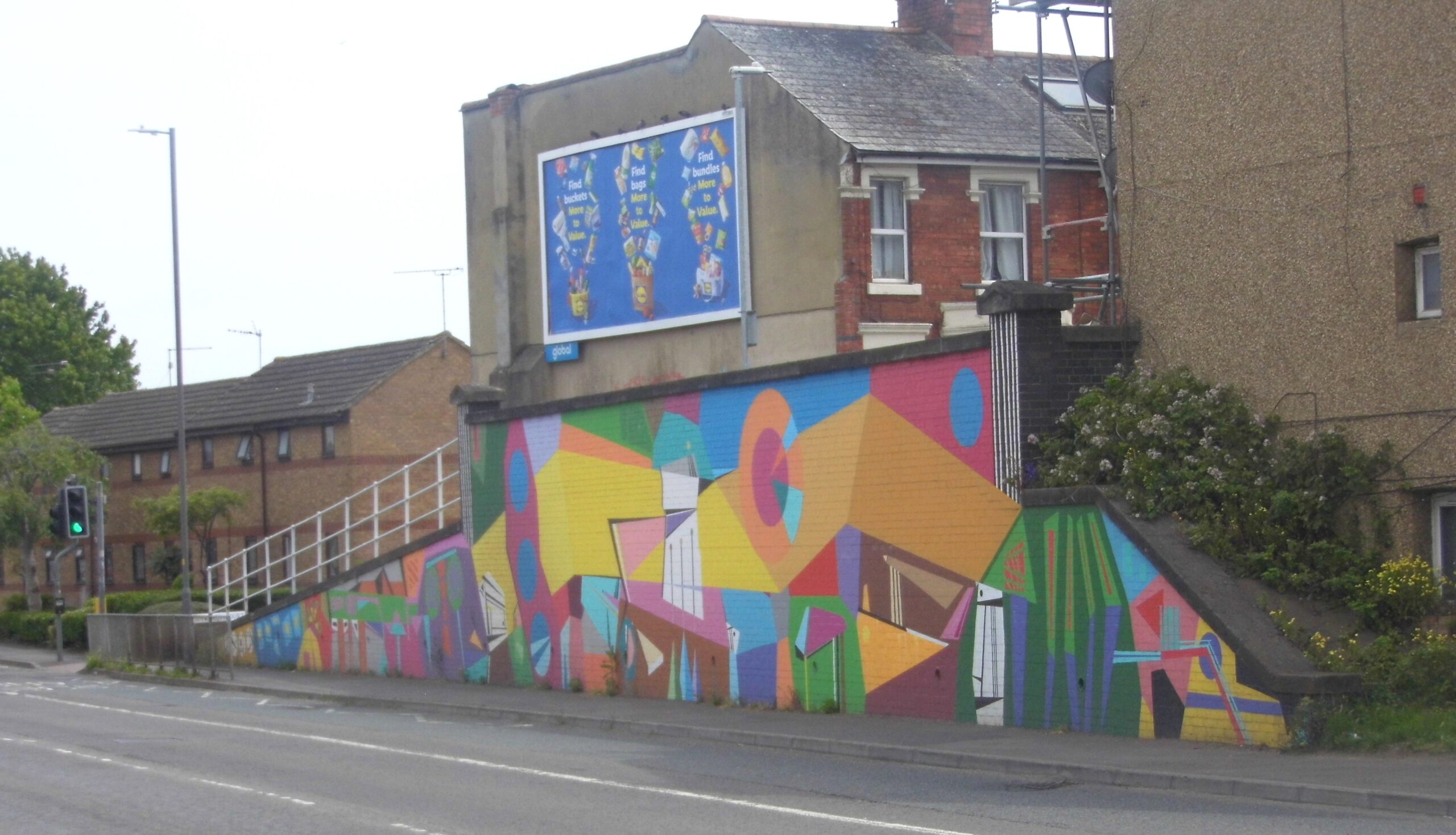
Canal Walk then starts with the milestone (more or less) and continues up to Wharf Green and through the underpass under the carpark, across Milton Road and down towards Cambria Bridge. The preserved line of the filled-in canal has the backyards of houses on both of its sides. It runs all the way up to Cambria Bridge and the mural and, at length to Rushy Platt where the canal has been restored. See also Milton Road: https://swindonian.me/2026/06/05/13-milton-road-1895/
More about the mural here: https://swindonian.me/2015/10/03/cambria-bridge-mural/
See also Milton Road.
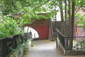

The canal itself continued down what is now The Parade. The Debenhams building marks the junction with the North Wilts canal. The W&B continued along what’s now Fleming Way to where the Magic Roundabout now lies. It turned off along the boundary of St Joseph’s school and then went through Greenbridge to run alongside the A420 towards Oxford.
Going the other way from the Debenhams building, the North Wilts canal ran under the railway at the Shepard Street underpass and out through Cheney Manor, Moredon and Moulden Hill to Cricklade.
The canal and its bridges
1877 saw the building of Cambria Road bridge with Queenstown bridge being erected in 1885. While the landmark Whale Bridge roundabout (see Fleming Way for further mention of this and Queenstown bridges), commemorated another roundabout (Swindon has a few) appeared in 1893.
1907 saw the building of the York Road bridge built to link housing developments on either side of the then derelict canal. The wrecking ball paid a visit to this bridge in the 1960s during the construction of Fleming Way.
A bit about the canal
In Swindon Decoded, John Chandler writes how when, in 1804, this portion of the canal was under construction (and for some decades afterwards) open countryside lay on both sides. There was, he writes, but a mere glimpse of civilization in the form of Old (High) Swindon on the hill to the left and a small number of buildings at Even Swindon to the right.
From 1840 rows and rows of houses started spreading across the fields between the canal and the new railway tracks. Soon they transformed the landscape until, by the 1890s, the canal’s useful life had come to an end. A victim of its own success if you will, the canal became irrelevant. It’s course through Swindon had become both an inconvenience and a health hazard thus 1914 saw the borough council buy the Swindon portion and fill it in.
See also: